Overview
GPR Range
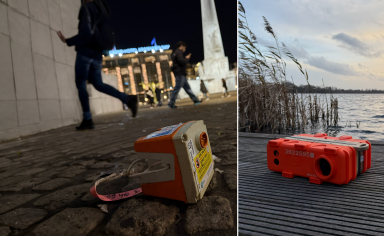
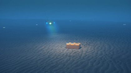
Sercel's QuietSeis OBN portfolio is built for E&P companies and service providers who need reliable, high-precision subsurface imaging without compromising on safety or environmental responsibility. From shallow water to depths of 4,000 m, GPR nodes support NOAR, ROV, and AUV deployment, giving operators the flexibility to choose the method that fits their survey, crew, and environmental requirements.
Which node fits your survey?
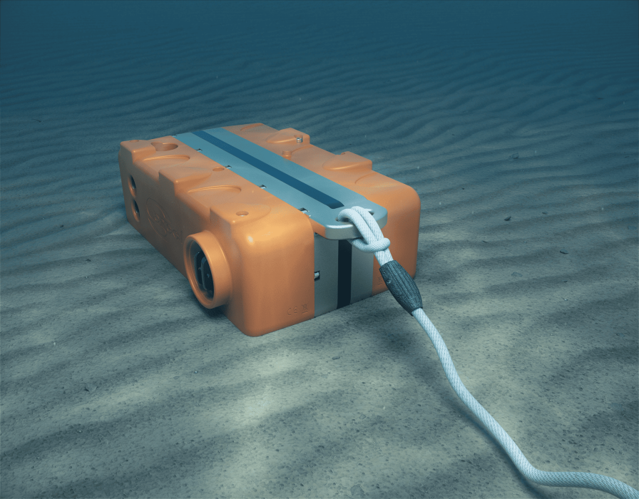
Both nodes share the same QuietSeis® MEMS sensor core. Choice depends on water depth and deployment method. Full technical specifications are available in the GPR brochure.
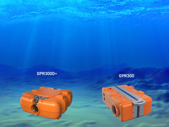
GPR300: Shallow water & transition zone OBN
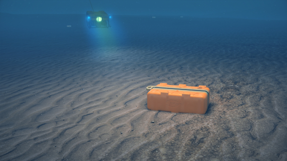
With 60 days of autonomy over the full temperature range, GPR300 is a field-proven best-seller for dense, shallow 3D/4D OBN surveys. Compact and lightweight, it supports Node-On-A-Rope (NOAR) and ROV deployment.
GPR3000+: Deepwater OBN for dense 3D/4D surveys
With 200 days of autonomy over the full temperature range, GPR3000+ extends that same performance to dense, deepwater 3D/4D surveys down to ultra-deepwater depths and is compatible with Node-On-A-Rope (NOAR), ROV or AUV deployment.
Sercel inside

Key Benefits
SYSTEM-CERTIFIED DATA & PROVEN RELIABILITY
- GPR nodes are backed by a continuous Operation Monitoring Environment and a proven reliability track record across major survey deployments worldwide.
HIGH-PRECISION IMAGERY
- QuietSeis® delivers unmatched digital fidelity, with 3C recording and vector fidelity that produce the high-quality subsurface images for accurate reservoir characterization.
IMPROVED OPERATIONAL EFFICIENCY
- GPR nodes are compatible with land operations, giving operators the flexibility to optimize efficiency for any survey environment.
BUILT FOR ROUGH HANDLING AND RUGGED TERRAIN
- GPR nodes feature high shock resistance, engineered to withstand repeated handling and rough terrain.
SHARED INFRASTRUCTURE
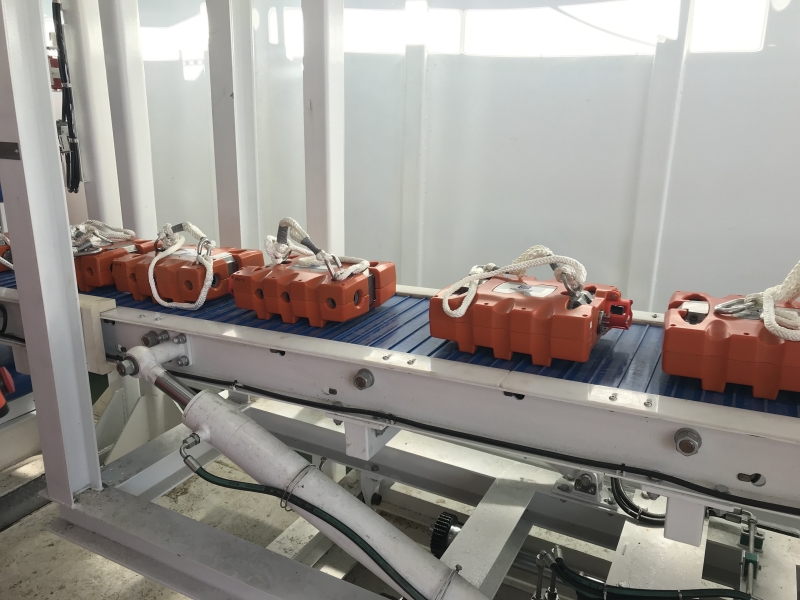
- GPR3000+ uses the same charging and harvesting racks as GPR300: No hardware modifications are required. Both node types can be deployed together on the same survey.
Geotag
POSITIONING SYSTEM
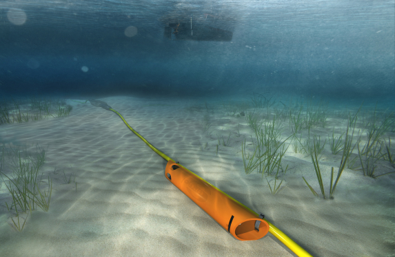
GeoTag is an acoustic positioning system compatible with any ocean bottom or transition zone seismic equipment down to 500 meters.
Its acoustic transponder ensures precise positioning, while its reel-ready design allows easy deployment using a mechanical squirter, offering flexible and cost-effective operations in marine environments.
Related product
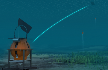
MicrOBS
Sparse nodal solution for seismic refraction and reflection surveys for depths up to 6,000 m.