OVERVIEW
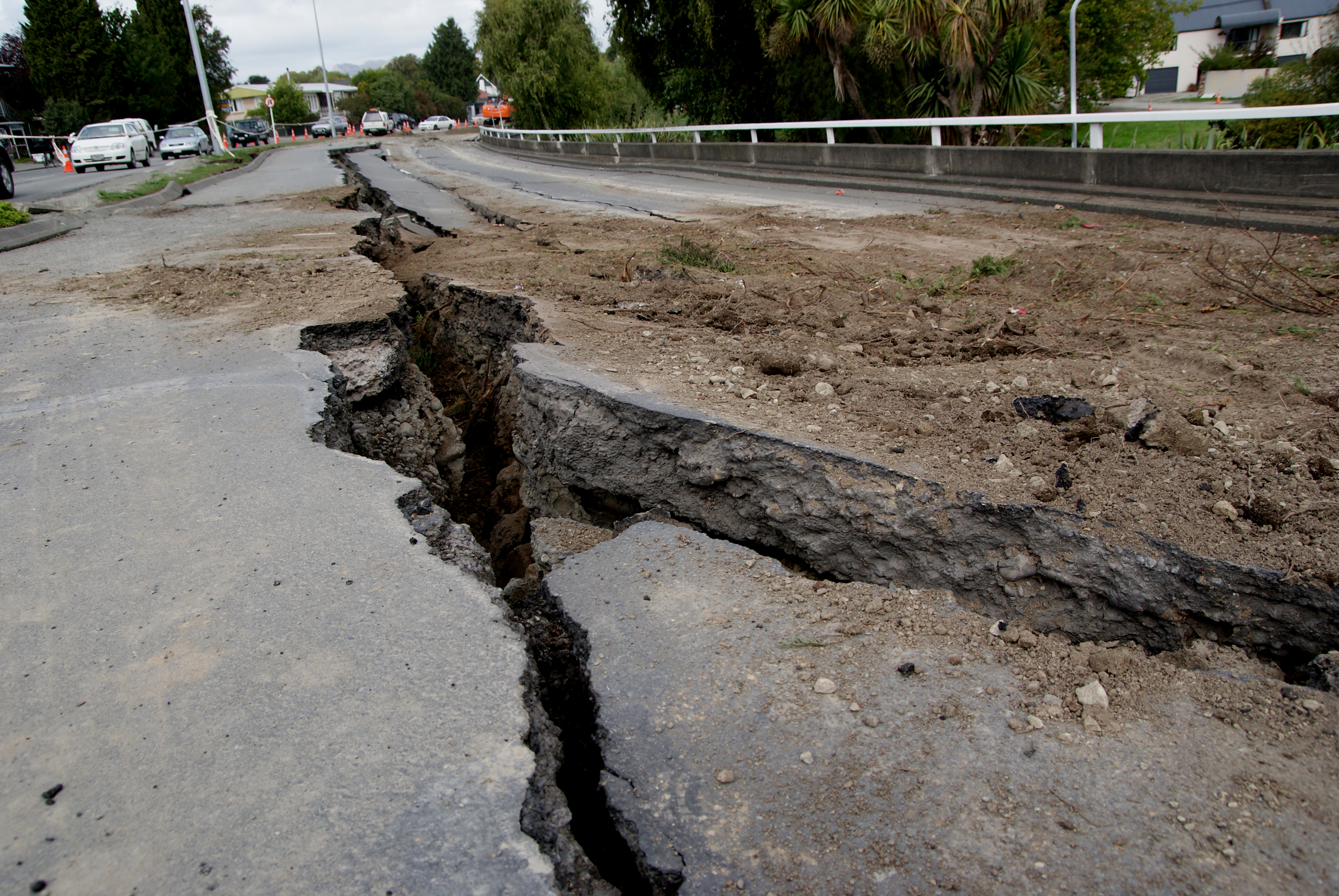
Human civilization is having an increasingly powerful influence on the Earth. Climate change can also influence extreme weather events such as storms and precipitation, which in turn can affect tectonic and volcanic processes. Earth observations are invaluable for assessing and mitigating the negative impacts. This information is used to develop building codes, land use policies and risk mitigation strategies.
WHY SERCEL
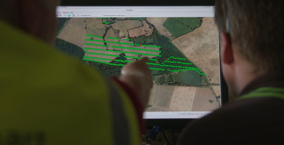
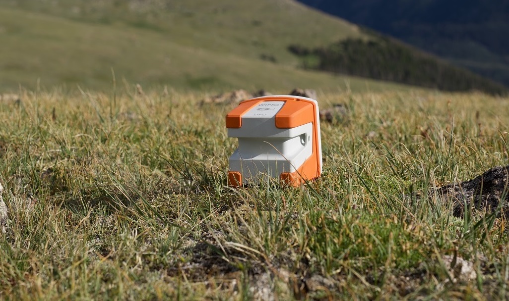
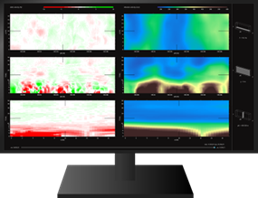
Based on decades of experience in land seismic acquisition, Sercel can provide its expertise in earth monitoring providing very high resolution of subsoil imaging.
Whether wireless or wired, the capabilities of our sensors and the analysis of the interpretation of the imagery generated are unmatched. Speed of installation and ultra high resolution allow our customers to know the state of the subsoil and also to monitor the variability close to the surface over the long term. It is therefore possible to characterize sites with precision and to monitor all potential variability.
Some specific applications that Sercel can contribute for Earth monitoring include:
- Measuring land-use change (such as deforestation) with impact on sub-soil
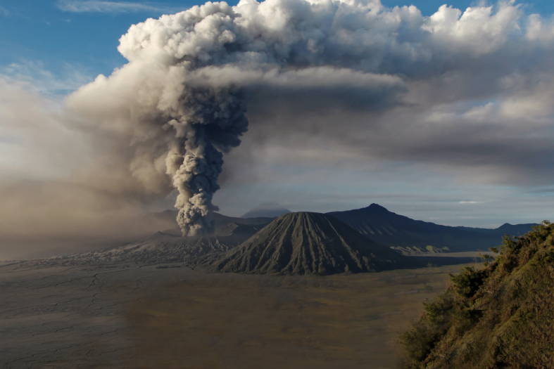
- Monitoring to alert earthquakes, volcano eruption
- Evaluation of potential risks after earthquakes
RELATED MARKETS

Oceans monitoring
Geotechnical Monitoring

