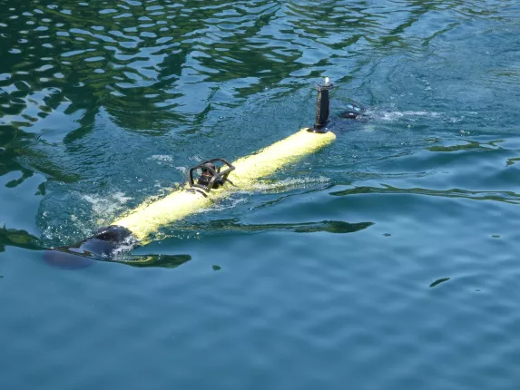
Autonomous underwater operations are extremely challenging as submerged vehicles are unable to benefit from surface positioning systems such as GNSS. A reliable alternative solution is therefore required as in most underwater work such as mapping or inspection good positioning accuracy is mandatory.
Kopadia is a company experienced in the operation of AUV systems and the integration of technologies for underwater inspection projects. Their operational approach is to deploy light and versatile (man portable) solutions in order to streamline the logistics required to perform any given survey. Kopadia mostly operates in coastal areas (0-200m).
The team at Kopadia was looking for a positioning and tracking system to install on their AUVs. Since they needed a light solution they decided to design their own solution based around the Sercel MATS LT.
The design criteria was to provide a vehicle with all the information required for survey navigation in real time while simultaneously tracking and recording its position. The resulting position file can then be used, after post processing, for very accurate mapping and measurement. The solution was designed and implemented in just 2 months prior to deployment and once in the water was quickly providing excellent results.
Read the whole story by downloading our case study.

